Initiative

Coastal Observations, Mechanisms, and Predictions Across Systems and Scales (COMPASS)

Improving fundamental scientific understanding, model representation, and predictive capacity of coastal systems.

Bridge over delta

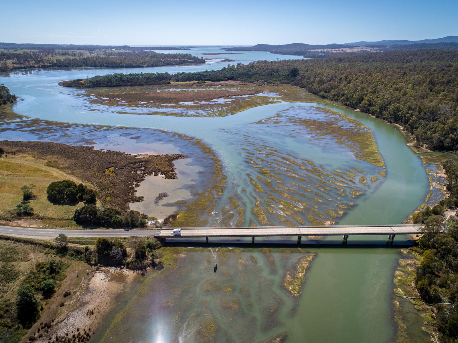
The COMPASS project aims to increase fundamental understanding, models, and the ability to predict change in coastal systems.

Vision

COMPASS will help dramatically enhance predictive understanding of coastal systems, including their response to short- and long-term changes.

The project comprises two parts: a field study and a coastal modeling study. COMPASS-Field, Measurements, and Experiments (FME) focuses on field studies and associated process and ecosystem modeling of two coastal interfaces. COMPASS-Great Lakes Modeling (GLM) focuses on modeling and analysis of coastal systems in the Great Lakes Region.

COMPASS-FME: Field, Measurements, and Experiments

COMPASS-FME seeks to advance a scalable, predictive understanding of the fundamental biogeochemical processes, ecological structure, and ecosystem dynamics that distinguish coastal terrestrialaquatic interfaces (TAIs) from the purely terrestrial or aquatic systems to which they are coupled.

To achieve the COMPASS vision, FME will focus on the following overarching long-term science questions:

  1. What fundamental mechanisms control the structure, function, and evolution of coastal TAIs?
  2. How do these fundamental mechanisms interact across spatial scales, and what interactions are most important to improving predictive models?

The two-year COMPASS-FME pilot study aims to develop predictive understanding of the causes, mechanisms, and consequences of the shift between aerobic and anaerobic conditions at both saltwater and freshwater TAIs.

COMPASS-GLM: Great Lakes Modeling

To achieve the COMPASS vision, GLM will focus on three overarching long-term science questions:

  1. What multiscale mechanisms govern the structure, function, and dynamics of coastal systems at different spatial and temporal scales?
  2. How do coastal systems respond to natural and anthropogenic influences?
  3. Can we generalize new process knowledge and predictive skill gained at a small number of sites or regions across the observed diversity of coastal systems?

The two-year COMPASS-GLM pilot study aims to enhance predictive understanding of freshwater coastal systems, especially how they respond to climate warming, land use and land cover change (LULCC), and other perturbations at watershed-to-regional scales. This includes local climate and weather feedbacks that affect wintertime lake effect snows and summertime convective storms.

During the pilot study, modeling activities will focus on two tasks: regional modeling of the Great Lakes Region and watershed modeling in the Portage River watershed.